
Aerial Triangulation
Providing reliable photogrammetric workflows for aerial mapping, orthophoto production
Read More
RGB Orthphoto
Precision Aerial Data Solutions for Land Development and Infrastructure Projects
Read More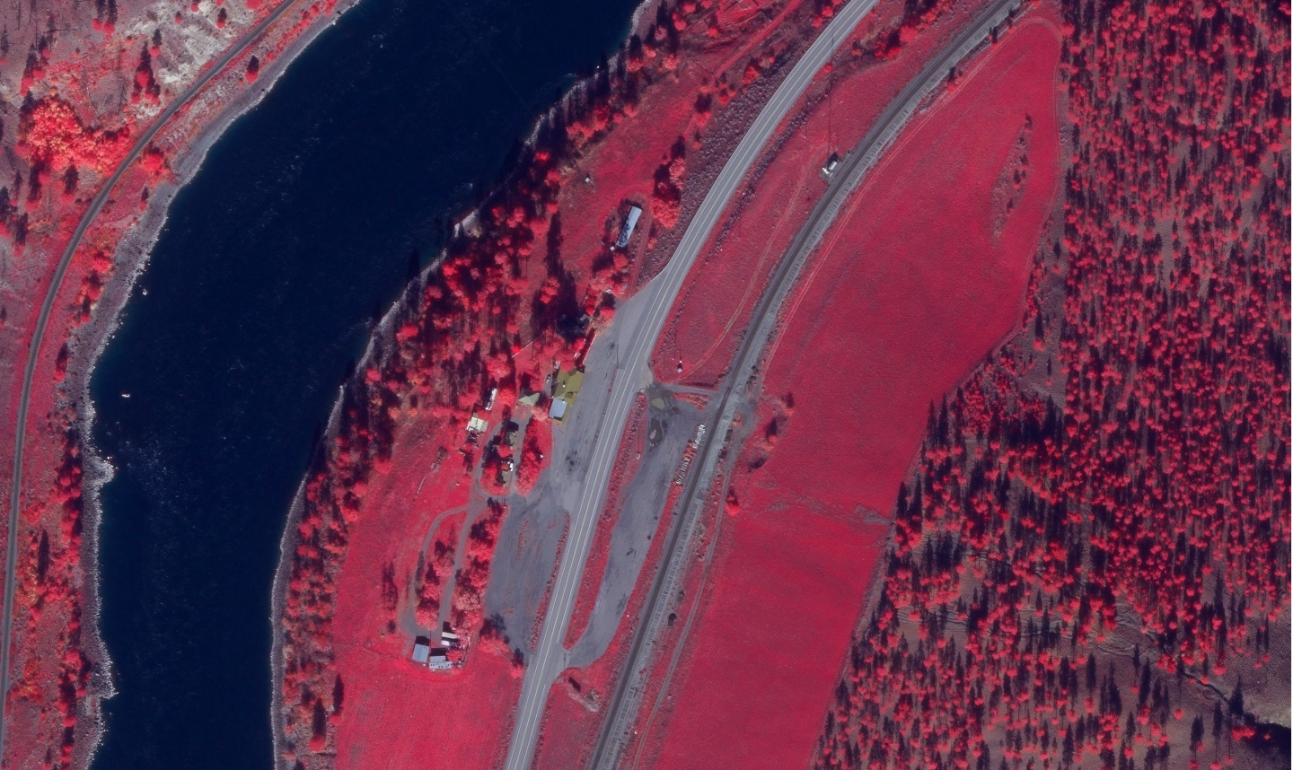
Multispectral Orthophoto
Generating accurate multispectral orthophotos to support agriculture, natural resource
Read More
True Orthophoto
High-accuracy true orthophoto generation for urban infrastructure, engineering, and geospatial
Read More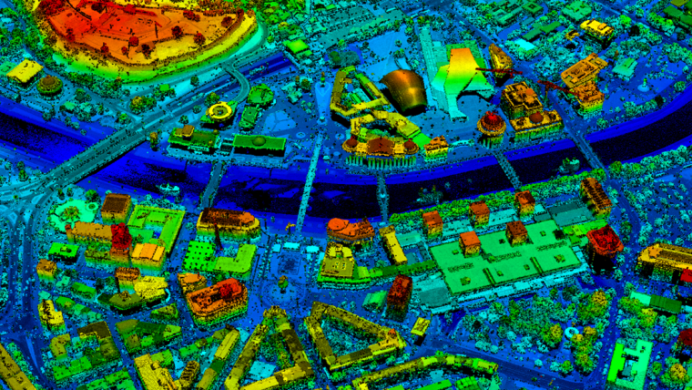
DTM/DSM/Contour
Providing detailed DTM, DSM, and contour mapping solutions for infrastructure development
Read More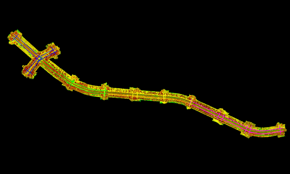
Corridor Mapping
Transforming aerial and UAV imagery into accurate geospatial datasets for engineering
Read More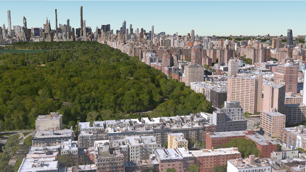
Oblique Imagery Processing
Creating accurate 3D city models, building extraction datasets, and visual mapping solutions
Read More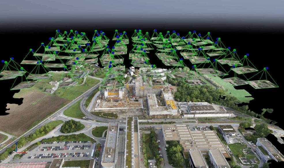
Drone Mapping
Delivering high-resolution aerial mapping, elevation data, and geospatial insights
Read More