The mining industry depends on extensive infrastructure, including open-pit and underground mines, processing plants, haul roads, tailings facilities, stockpiles, and transportation networks. As mining operations expand, accurate geospatial data and digital technologies are essential for efficient exploration, planning, operations, and asset management.
Managing large mining assets requires reliable terrain monitoring, volumetric analysis, infrastructure inspections, and environmental compliance. GIS, LiDAR, BIM, and Digital Twin solutions help mining companies improve asset visibility, optimize production, enhance operational safety, and support informed decision-making.
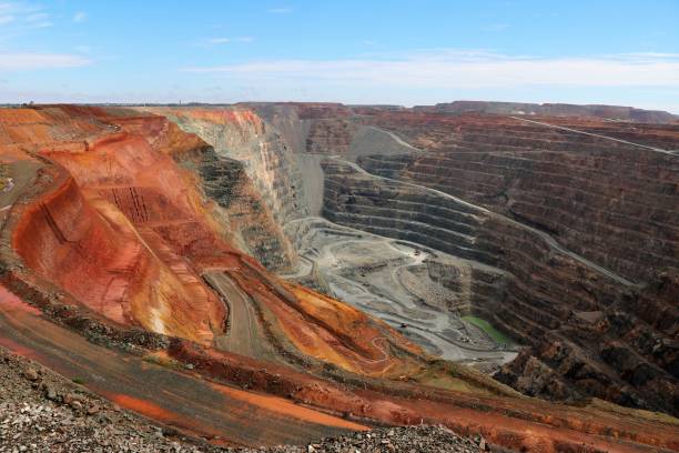
Gain complete visibility of mines, processing plants, haul roads, stockpiles, tailings facilities, and critical infrastructure through accurate geospatial data, enabling efficient asset management throughout the entire mining lifecycle.
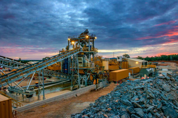
Optimize mine planning, engineering, inspections, production monitoring, and maintenance with integrated GIS, LiDAR, BIM, and Digital Twin solutions that reduce operational delays, improve productivity, and lower operating costs.
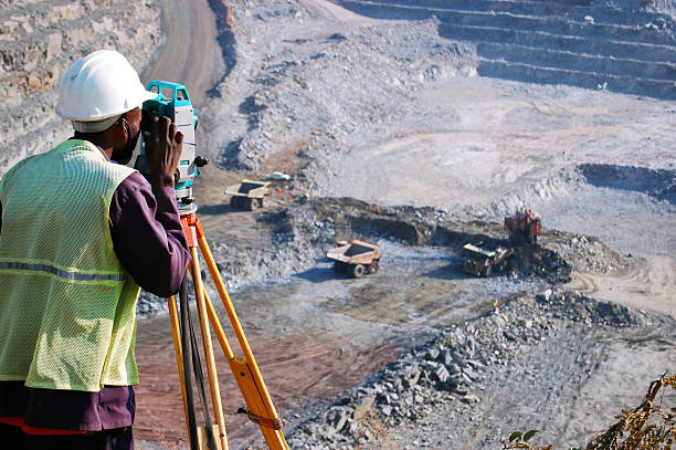
Identify potential hazards, enable safer remote inspections, and maintain accurate engineering documentation to support environmental regulations, mining standards, and operational safety.

Transform geospatial and engineering data into actionable insights that support infrastructure planning, predictive maintenance, capital investment, and long-term operational excellence.