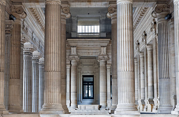
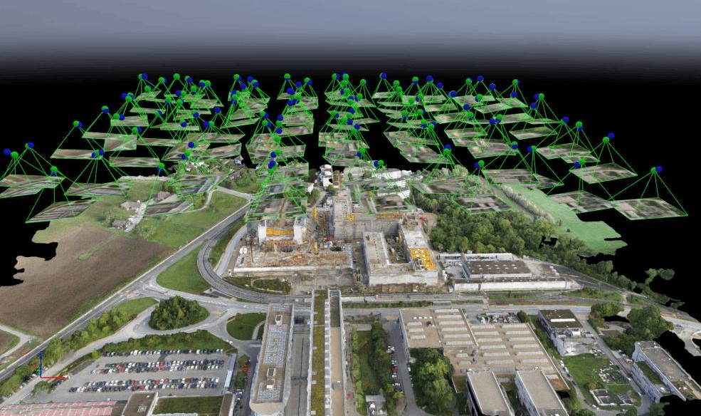
The heritage sector plays a vital role in preserving cultural, historical, and archaeological assets for future generations. It includes monuments, historic buildings, archaeological sites, museums, temples, forts, palaces, and cultural landscapes. As heritage conservation projects expand, organizations rely on accurate geospatial data and digital technologies to support documentation, restoration, preservation, and long-term asset management.
Managing heritage assets involves challenges such as structural deterioration, accurate documentation, conservation planning, environmental impacts, and site monitoring. GIS, LiDAR, Photogrammetry, BIM, and Digital Twin solutions provide precise insights to improve asset documentation, support restoration, enhance preservation efforts, and enable informed decision-making.

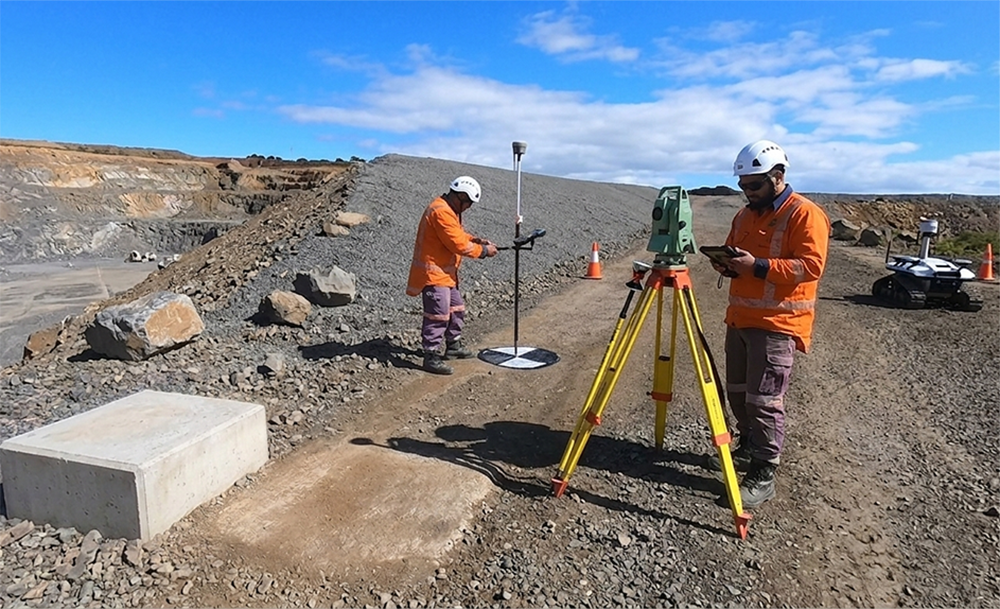
Capture highly accurate digital records of monuments, historic buildings, archaeological sites, and cultural landmarks, enabling effective conservation, restoration, and long-term heritage management.
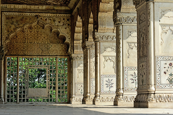
Optimize heritage documentation, restoration planning, condition assessments, and conservation workflows with integrated GIS, LiDAR, BIM, and Digital Twin solutions that improve accuracy, reduce project timelines, and support informed decision-making.
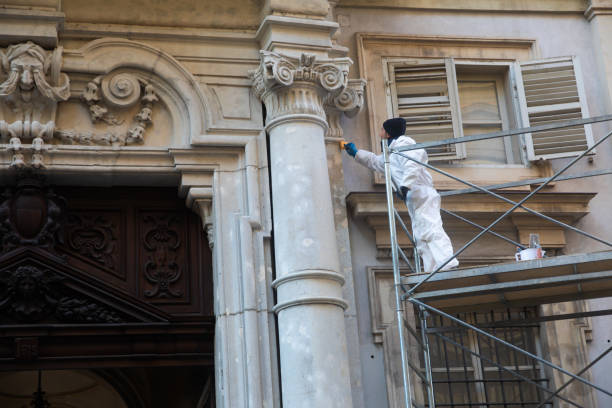
Generate precise engineering documentation, 3D models, and digital archives to support heritage preservation, regulatory compliance, structural analysis, and ongoing conservation initiatives.
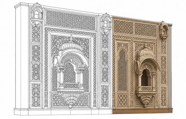
Transform geospatial and engineering data into actionable insights that support restoration planning, risk assessment, asset monitoring, funding decisions, and the sustainable preservation of cultural heritage.