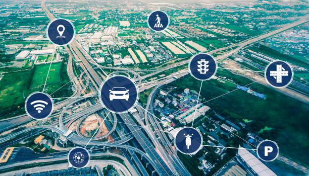
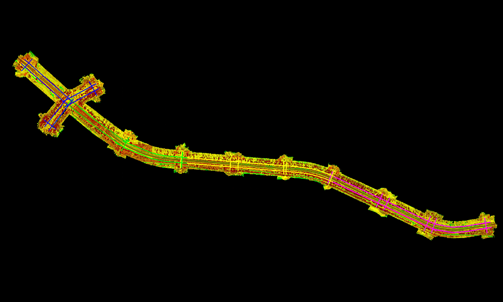
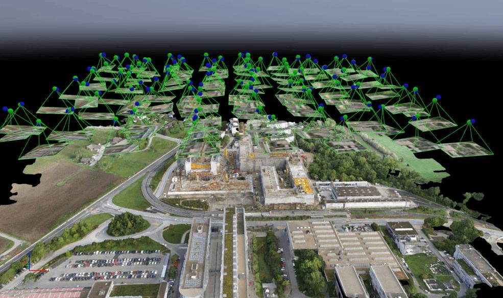
The transportation industry plays a vital role in connecting communities, supporting economic growth, and enabling the efficient movement of people and goods. It relies on extensive infrastructure such as highways, roads, bridges, railways, airports, ports, tunnels, and transit networks. As transportation systems continue to expand and modernize, organizations depend on accurate geospatial data and digital technologies to improve planning, operations, maintenance, and asset management.
Managing large and geographically dispersed transportation assets presents challenges such as aging infrastructure, traffic management, corridor planning, asset condition assessment, regulatory compliance, and infrastructure inspections. GIS, LiDAR, BIM, and Digital Twin solutions help transportation agencies improve asset visibility, optimize maintenance, enhance safety, and make data-driven decisions.
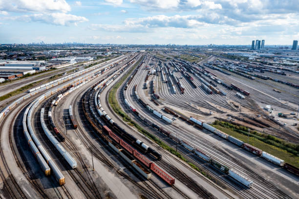
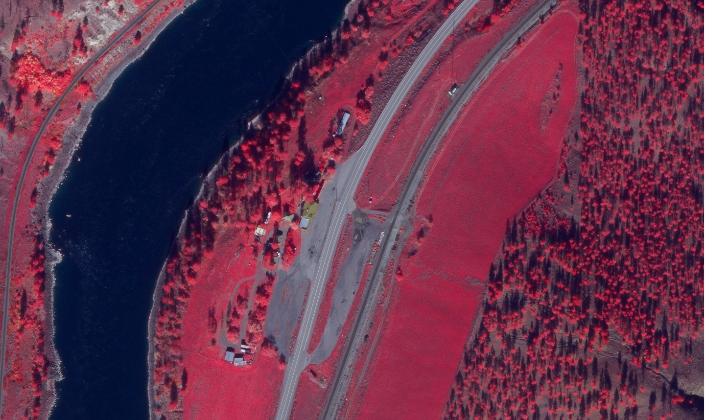
Gain complete visibility of roads, highways, railways, bridges, airports, and transportation assets through accurate geospatial data, enabling efficient infrastructure management throughout the entire asset lifecycle.
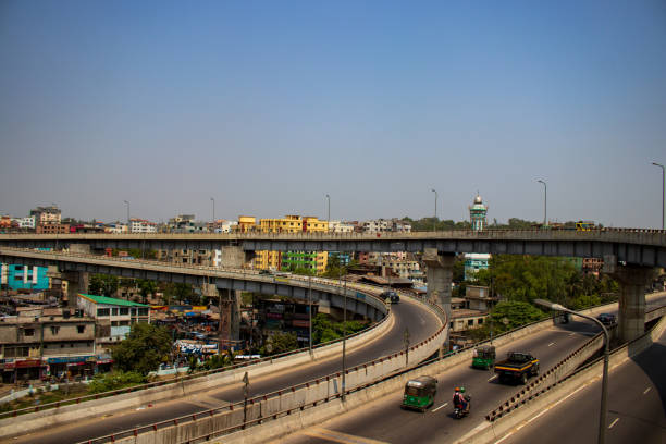
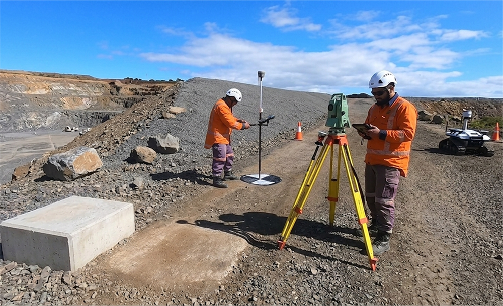
Optimize planning, engineering, inspections, maintenance, and construction with integrated GIS, LiDAR, BIM, and Digital Twin solutions that reduce project delays, improve productivity, and lower operational costs.
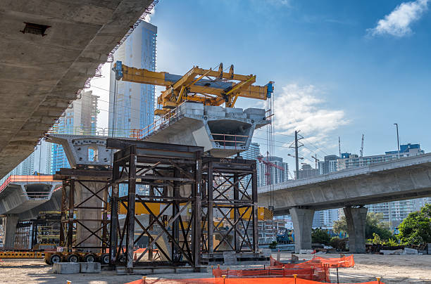
Identify infrastructure risks, enable safer remote inspections, and maintain accurate engineering documentation to support transportation standards, regulatory compliance, and public safety.
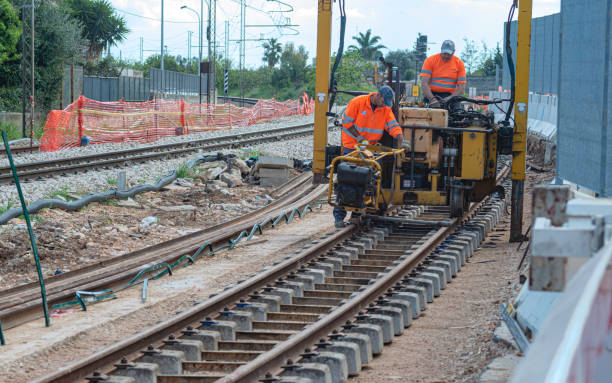
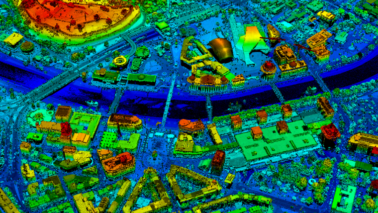
Transform geospatial and engineering data into actionable insights that support transportation planning, predictive maintenance, infrastructure investment, and long-term network performance.