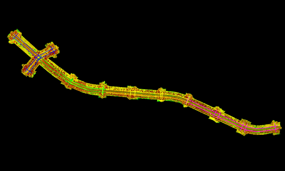
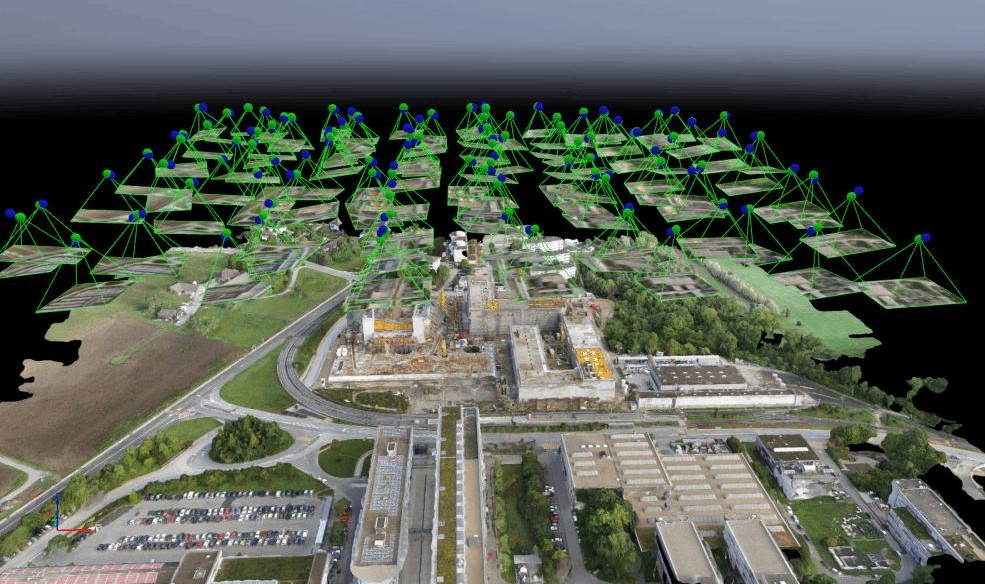
The environment and forestry sector plays a vital role in conserving natural resources, protecting ecosystems, and supporting sustainable land management. It relies on assets such as forests, wetlands, watersheds, protected areas, wildlife habitats, and conservation zones. As environmental monitoring advances, organizations depend on accurate geospatial data and digital technologies to improve planning, resource management, and regulatory compliance.
Managing environmental and forestry assets involves challenges such as forest inventory, land cover mapping, vegetation monitoring, wildfire risk assessment, biodiversity conservation, and ecosystem monitoring. GIS, LiDAR, BIM, and Digital Twin solutions help improve resource visibility, strengthen conservation efforts, enhance sustainability, and support informed decision-making.

Gain complete visibility of forests, vegetation, watersheds, protected areas, wildlife habitats, and natural resources through accurate geospatial data, enabling efficient environmental and forestry management throughout the entire resource lifecycle.

Optimize forest inventory, land use planning, environmental monitoring, vegetation analysis, and resource management with integrated GIS, LiDAR, BIM, and Digital Twin solutions that improve productivity, reduce operational costs, and support sustainable management practices.

Identify environmental risks, monitor ecosystem changes, and maintain accurate geospatial information to support environmental regulations, forestry standards, conservation initiatives, and sustainable resource management.

Transform geospatial and environmental data into actionable insights that support forest planning, biodiversity conservation, climate resilience, natural resource management, and long-term environmental sustainability.