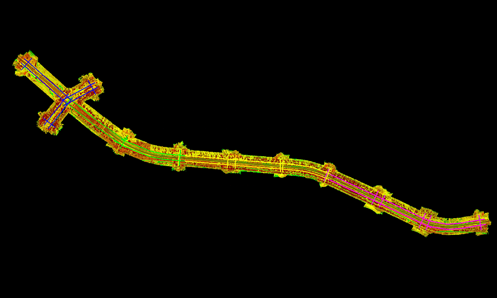
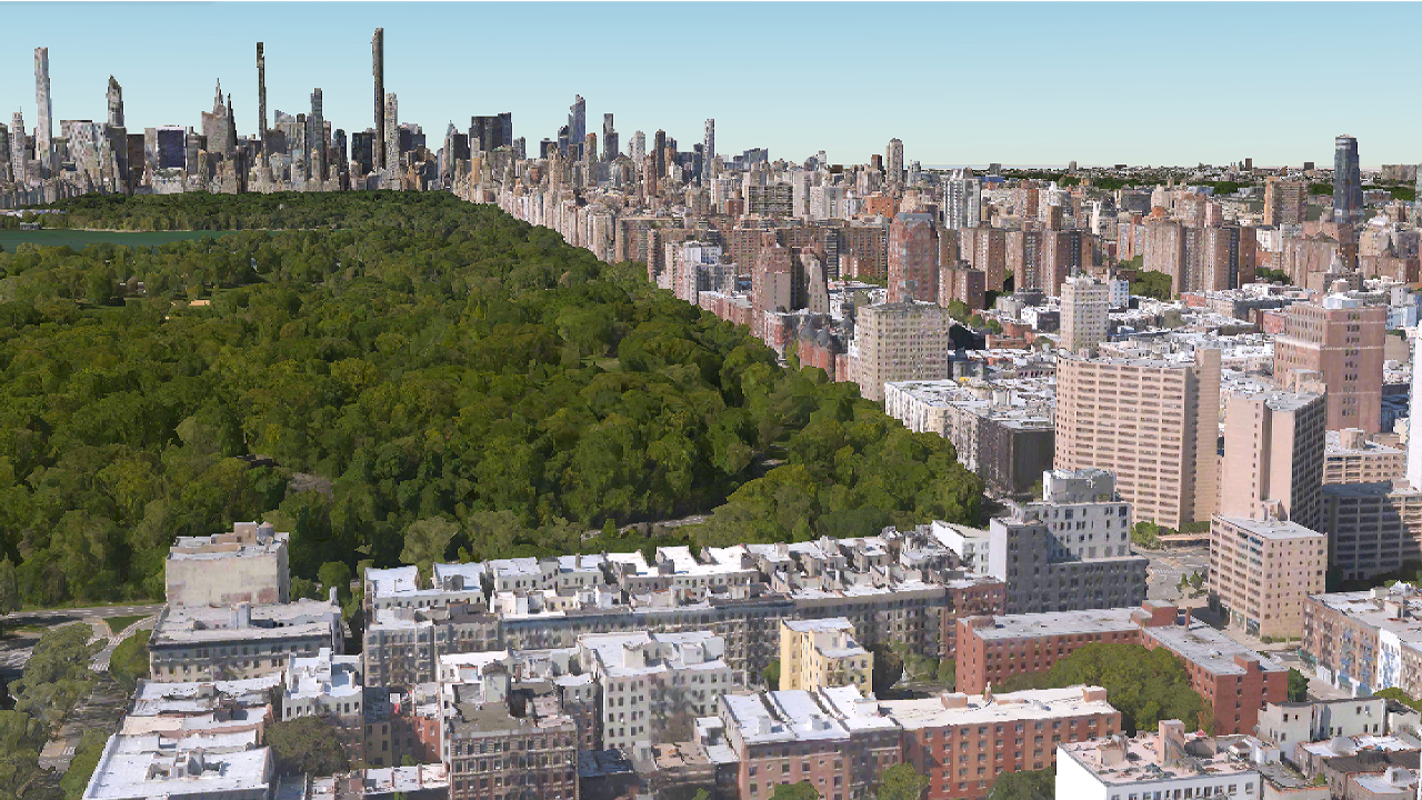
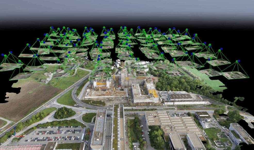
The urban development sector relies on extensive infrastructure, including residential and commercial developments, roads, utilities, public spaces, transportation networks, and municipal facilities. As cities continue to grow, accurate geospatial data and digital technologies are essential for efficient planning, design, construction, and infrastructure management.
Managing complex urban infrastructure requires reliable land use planning, utility coordination, asset management, and infrastructure monitoring. GIS, LiDAR, BIM, and Digital Twin solutions help governments, planners, developers, and engineering firms improve asset visibility, optimize infrastructure performance, support sustainable development, and make informed decisions.
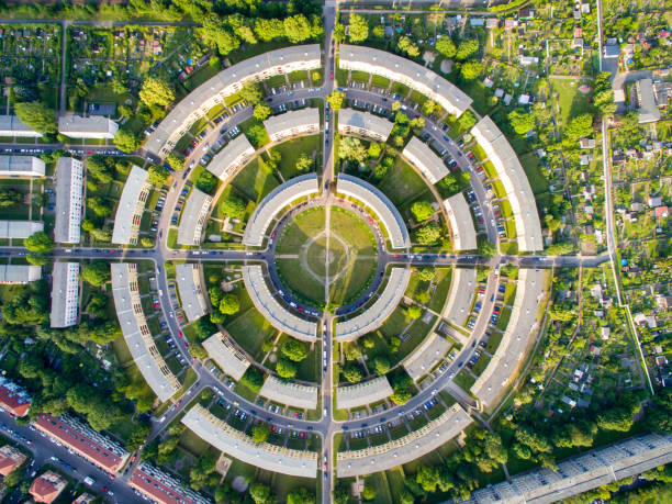
Gain complete visibility of roads, utilities, buildings, public facilities, transportation networks, and urban infrastructure through accurate geospatial data, enabling efficient asset management throughout the entire infrastructure lifecycle.

Optimize urban planning, engineering, construction, inspections, and infrastructure maintenance with integrated GIS, LiDAR, BIM, and Digital Twin solutions that improve productivity, reduce project risks, and lower operational costs.
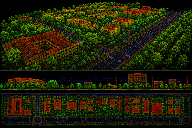
Support sustainable urban growth through accurate planning, infrastructure monitoring, and engineering documentation while maintaining compliance with planning regulations, environmental standards, and municipal requirements.
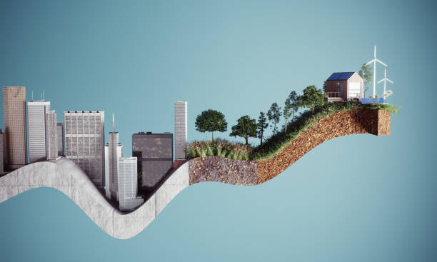
Transform geospatial and engineering data into actionable insights that support city planning, infrastructure investment, predictive maintenance, resource management, and long-term urban development.