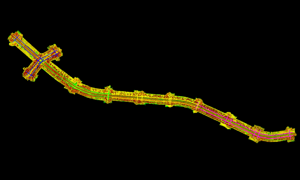
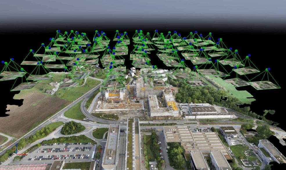
The power utility industry plays a critical role in delivering reliable electricity to homes, businesses, and industries through extensive transmission and distribution networks, substations, power plants, utility poles, transformers, and renewable energy infrastructure. As power networks expand and modernize, utilities rely on accurate geospatial data and digital technologies to improve planning, operations, maintenance, and asset management.
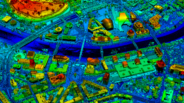
Managing large utility networks involves challenges such as vegetation encroachment, asset monitoring, network expansion, outage management, and regulatory compliance. GIS, LiDAR, BIM, and Digital Twin solutions provide accurate insights that help utilities enhance asset visibility, improve operational efficiency, strengthen safety, and support informed decision-making.

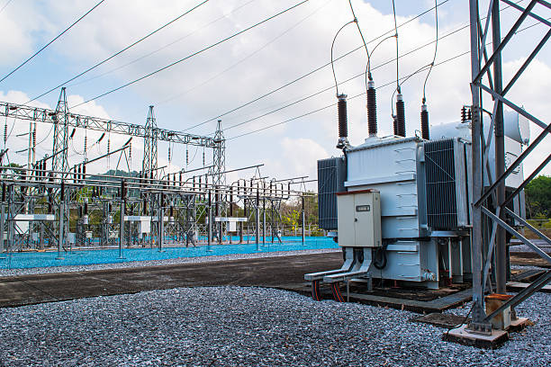
Gain complete visibility of transmission lines, distribution networks, substations, utility poles, transformers, and power infrastructure through accurate geospatial data, enabling efficient asset management throughout the entire asset lifecycle.
Optimize network planning, engineering, inspections, maintenance, and infrastructure development with integrated GIS, LiDAR, BIM, and Digital Twin solutions that reduce operational costs, improve productivity, and minimize service disruptions.

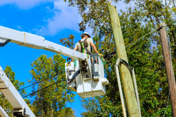
Identify infrastructure risks, monitor vegetation encroachment, enable safer remote inspections, and maintain accurate engineering documentation to support regulatory compliance, industry standards, and operational safety.
Transform geospatial and engineering data into actionable insights that support network planning, predictive maintenance, infrastructure investment, asset reliability, and long-term operational excellence.