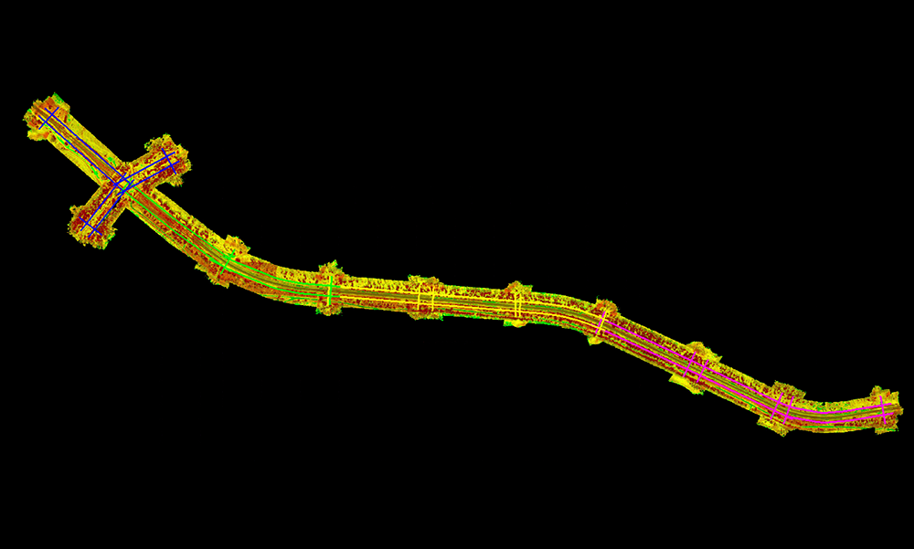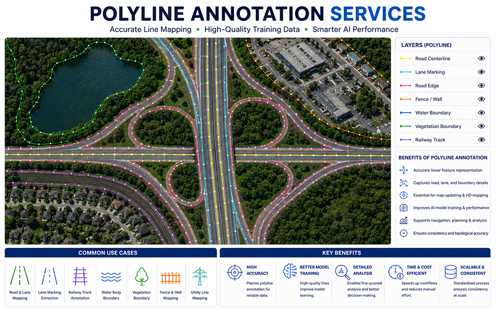
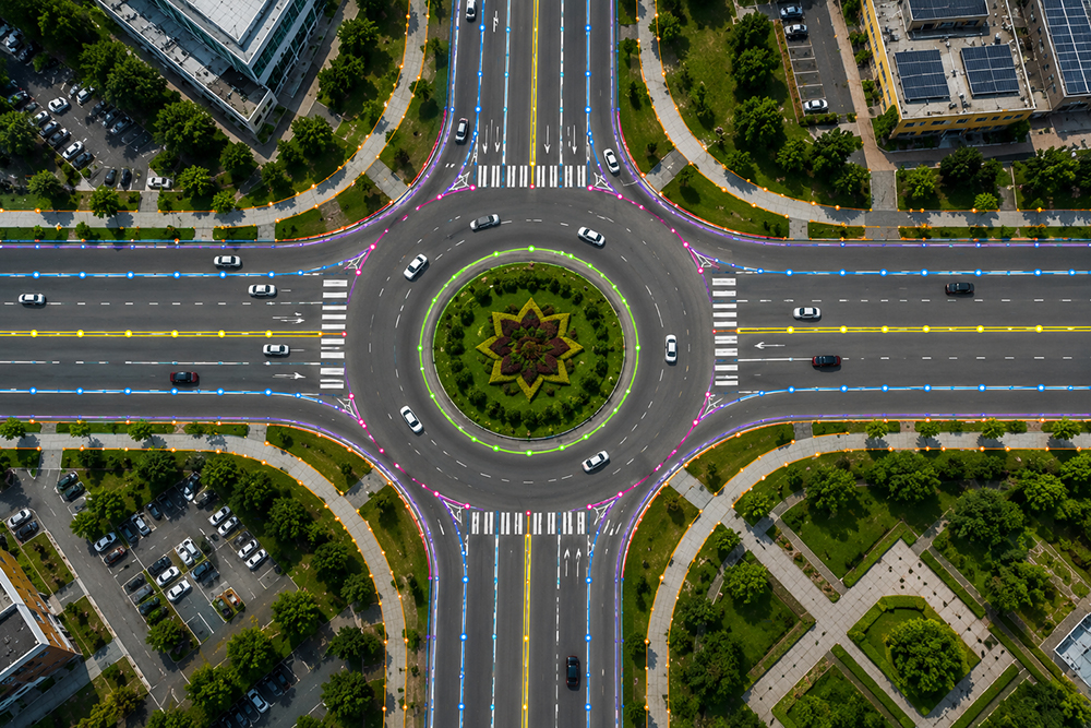
Polyline annotation is a specialized image annotation technique used to accurately trace linear objects by connecting multiple points along their path. It is ideal for annotating roads, lane markings, railways, powerlines, pipelines, boundaries, rivers, and other elongated features, providing high-quality training data for AI and computer vision models.
Unique Maps provides high-quality polyline annotation services using advanced annotation workflows, project-specific labeling guidelines, and rigorous quality control processes. Our solutions deliver accurate and scalable datasets for autonomous driving, geospatial analysis, infrastructure inspection, utility mapping, and AI-powered image recognition applications.
Images are reviewed to understand annotation requirements, object classes, and project-specific labeling guidelines.
Linear features are accurately traced using connected points to capture their exact path, geometry, and continuity.
Annotations are reviewed and refined to ensure consistency, accuracy, and compliance with project specifications.
Comprehensive QA/QC procedures validate annotation accuracy, line continuity, and overall dataset quality before delivery.