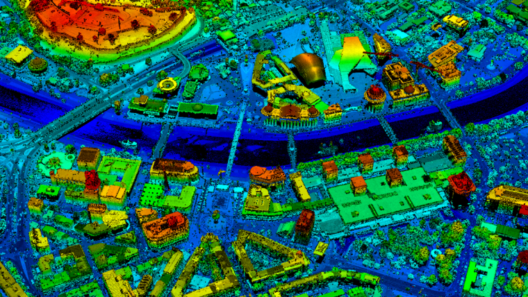
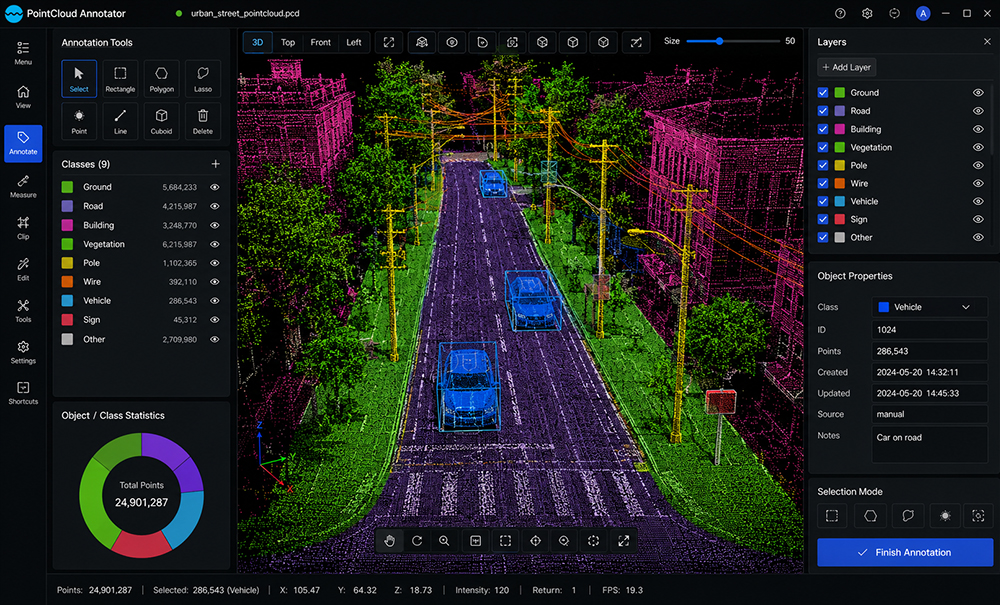
LiDAR annotation is the process of labeling and classifying 3D point cloud data to create high-quality training datasets for artificial intelligence, autonomous systems, and computer vision applications. By accurately identifying objects such as vehicles, pedestrians, buildings, roads, vegetation, and infrastructure, LiDAR annotation enables AI models to understand complex three-dimensional environments with exceptional precision.
Unique Maps provides high-quality LiDAR annotation services using advanced point cloud annotation workflows, 3D object labeling techniques, and rigorous quality control processes. Our solutions deliver accurate and scalable datasets for autonomous driving, robotics, smart cities, infrastructure inspection, and AI-powered perception systems.
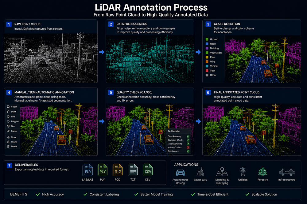
LiDAR point cloud datasets are reviewed to evaluate data quality, density, coverage, and project-specific annotation requirements.
Objects are accurately labeled using 3D bounding boxes, cuboids, semantic segmentation, instance segmentation, or point-wise classification based on project requirements.
Annotated point clouds are reviewed to ensure labeling consistency, object accuracy, and compliance with annotation guidelines.
Comprehensive QA/QC procedures validate annotation accuracy, classification consistency, and overall dataset quality before delivery.